Written By:
Sinéad SmythUpdated on:

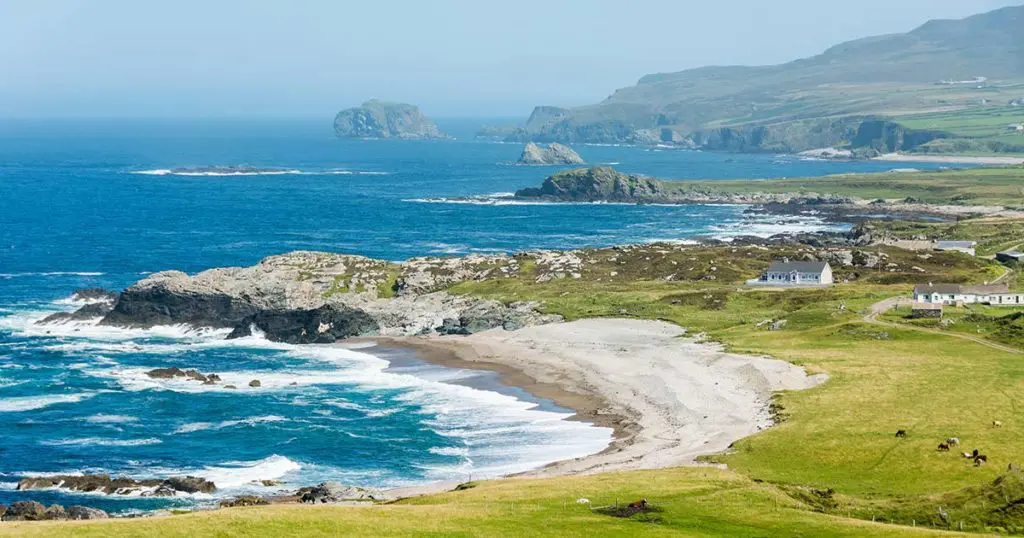
Explore rugged coastline, rare geology, and centuries of story at the top of Ireland
View all placesMalin Head is a place that stays with you — not just for the view, but for the feeling of standing at the edge of something vast. As the most northerly point on the island of Ireland, it offers visitors a powerful combination of geological wonder, dramatic coastal walks, and a rich historical legacy.
From Banba’s Crown to Hell’s Hole and beyond, the headland is both a natural marvel and a touchpoint for human stories that stretch back centuries.
The rugged terrain of Malin Head is composed largely of metamorphic and igneous rock, formed over 400 million years ago during an era of immense geological activity. Scattered along the coastline, you’ll find pebbles and stones containing semi-precious minerals — opal, jasper, amethyst, topaz, and others — a natural treasure trove created by time and tide.
In the 19th century, these stones were often collected and cut for jewellery or used as ornamental seals. While no formal mining ever took place, the pebbled beaches of Malin Head continue to fascinate geologists and casual beachcombers alike. Their colours, textures, and patterns tell a much older story than any one person or place.
No visit to Malin Head is complete without a stop at Banba’s Crown, named for Banba, one of the mythological queens of Ireland. This is the most northerly point on the island and the heart of the experience. From here, the views stretch wide over the Atlantic, with Inishtrahull Island to the northeast and, on clear days, the distant outline of the Scottish Isles.
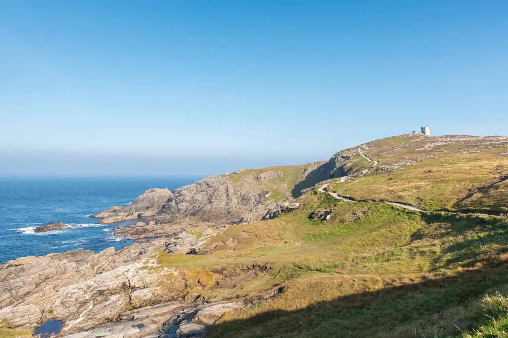
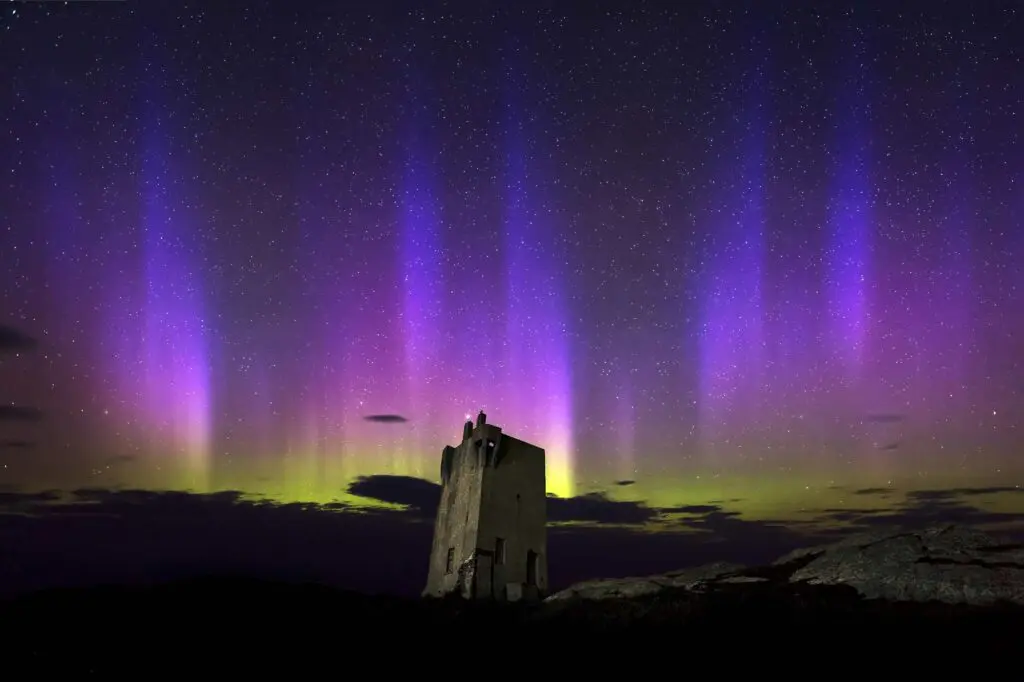
A tall, derelict building known locally as The Tower stands nearby. Built in 1805 by the British Admiralty as part of a coastal defence system during the Napoleonic Wars, it later served as a Lloyds Signal Station, monitoring shipping routes and transatlantic communication. In 1910, a radio station was established here — further testament to the strategic importance of Malin Head as a watchpoint on the edge of Europe.
During the Second World War, small stone huts were added and used by the Irish Defence Forces as lookouts to help protect Irish neutrality. Near the site, you’ll still find the “ÉIRE” stone marker — part of a national network of signs installed to alert Allied pilots flying overhead.
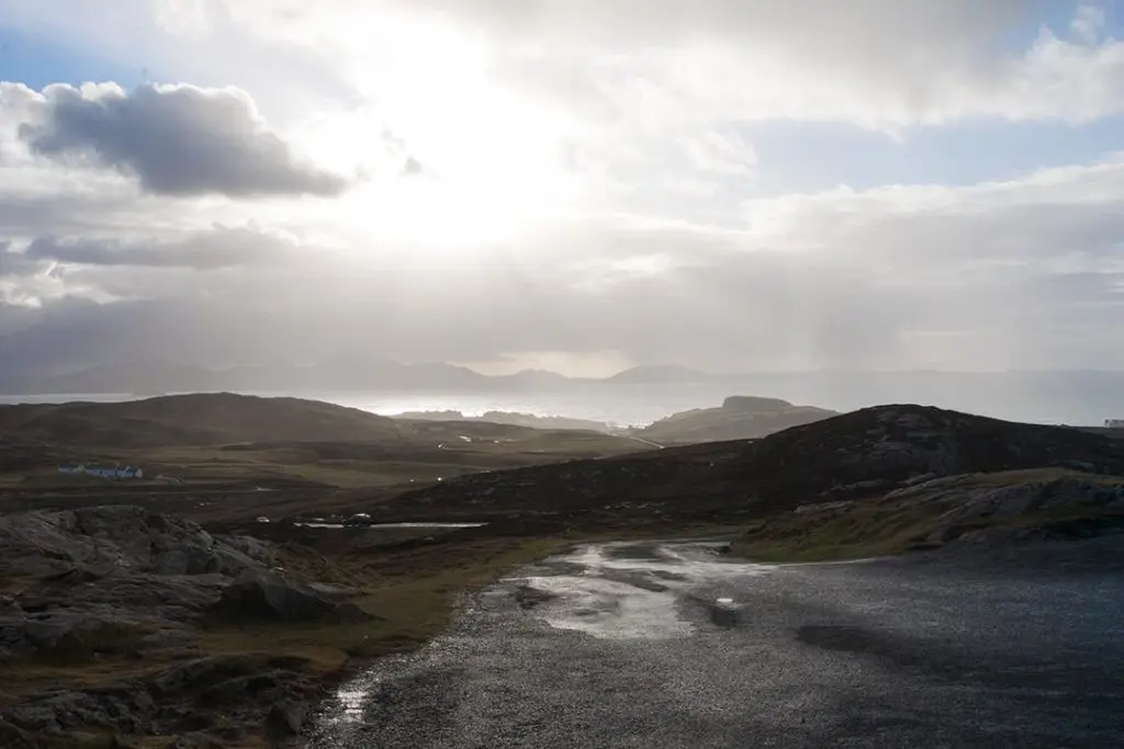
Malin Head isn’t just about standing still and taking in the view — it’s a place made for walking. A popular circuit of the head begins at Banba’s Crown and follows a loop past historical sites, through windswept terrain, and along cliff edges shaped by centuries of Atlantic storms.
Along the way, you’ll encounter Hell’s Hole, a narrow sea cavern measuring 250 feet long and just 8 feet wide. The surge and sound of the sea here are extraordinary — a testament to the raw, elemental power of the coastline. Nearby, on private land, lies Devil’s Bridge, a natural sea arch formed by erosion over thousands of years. While access to the arch itself is restricted, it remains an iconic feature of the area.
The wider Malin Head area holds other points of interest, each adding texture to the experience. Malin Well, a sacred site associated with early Christian pilgrims, sits quietly on the landscape, offering a place of reflection. The nearby harbours at Portmore Pier and Port Ronan Pier provide peaceful waterside stops — great for watching boats, spotting seabirds, or simply enjoying the change in pace.
Whether you’re visiting for geology, history, photography, or coastal exploration, Malin Head delivers a powerful connection to Ireland’s land, sea, and story. It’s a place where wind and water have shaped not just the landscape, but the lives of those who’ve lived at — and passed through — the farthest edge of the island.
A selection of our pics
Located close to Carndonagh and central to Inishowen, our traditional Irish cottage offers a peaceful, private stay in one of Donegal’s most scenic regions.